January 1937: the River Takes the City Back
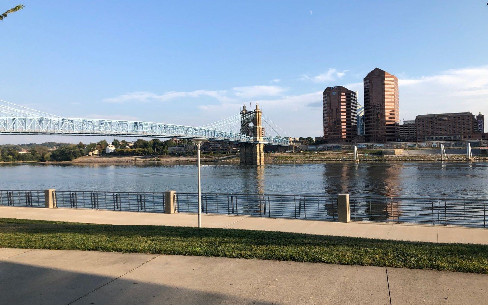
The January 1937 Ohio River flood crested at 79.99 feet (National Weather Service, 1937) — the highest recorded level — and displaced an estimated 60,000 Cincinnati residents.
Photo: Blue Arauz / PexelsThe flood that set every record Cincinnati still measures against
The Ohio River at Cincinnati occupies a channel whose bed sits well below the level of Fountain Square. In an ordinary January the river runs cold and quiet, contained by its banks, and most of the city ignores it. In January 1937 it did not stay in its channel. By the time the water stopped rising it had swallowed whole neighbourhoods, displaced an estimated sixty thousand residents and left a mark — literally, on brick and stone — that the city has never entirely erased.
The flooding that January was not a flash event. It was the slow accumulation of a catastrophe that had been building for weeks across the entire Ohio watershed. Heavy rainfall through the first half of the month saturated already-frozen ground from Pittsburgh to Cairo, Illinois, giving runoff nowhere to go but downstream. Cincinnati residents could watch the gauge readings climb in the newspaper each morning: twenty feet, thirty, forty. The Civil Engineering staff at the city waterworks began sandbagging pump stations. The National Weather Service's predecessor agency issued warnings that were technically accurate and practically inadequate for what was coming.
The river crested at Cincinnati on 26 January 1937 at 79.99 feet ↗, as recorded by the National Weather Service gauge at the Public Landing. That figure — 79.99 feet — remains the highest level ever recorded on the gauge at this location. Flood stage at Cincinnati is fifty-two feet. The 1937 crest stood nearly twenty-eight feet above that threshold. It also surpassed the previous record, set in 1884 at seventy-one point one feet, by nearly nine feet, a margin that stunned engineers who had built the city's flood estimates around that earlier benchmark.
In an ordinary January the river runs cold and quiet, contained by its banks, and most of the city ignores it.
Which neighbourhoods went under, and in what order
The geography of flooding in Cincinnati follows a logic the city's early settlers understood and later generations were allowed to forget. The lowest ground — the basin, the flat terrace the Ohio's northward bend deposited over millennia — filled first. The West End and the Mill Creek valley, already home to the city's densest working-class and Black residential population, were under water before the river had reached sixty feet. By the time the crest arrived, some blocks in the West End stood beneath more than twenty feet of water. The eastern half of the basin fared no better: the industrial riverfront, the railyards, the produce warehouses along the Public Landing — all submerged.
Over-the-Rhine, built on slightly higher ground north of the basin, avoided the worst but was not immune. Its southern edge — the blocks nearest the basin floor, below the grade break at roughly Liberty Street — flooded. Some of the neighbourhood's Italianate commercial buildings still carry faint tide lines in their lower masonry, particularly where the brick was soft enough to absorb mineral-laden water. Those marks, where they survive, sit at elevations that correspond to river stages well above anything experienced in the decades since.
The riverfront communities suffered the most concentrated displacement. In Sedamsville and Fernbank in the western river corridor, entire streets disappeared. In Covington and Newport across the river in Kentucky, the situation was similarly severe; both cities shared Cincinnati's misfortune as the Ohio backed water up the Licking River, flooding Newport's low-lying districts from two directions simultaneously. The Roebling suspension bridge, whose main span cleared the water by a margin that seemed generous in dry conditions, found its approaches threatened as the river climbed toward the level of its deck.
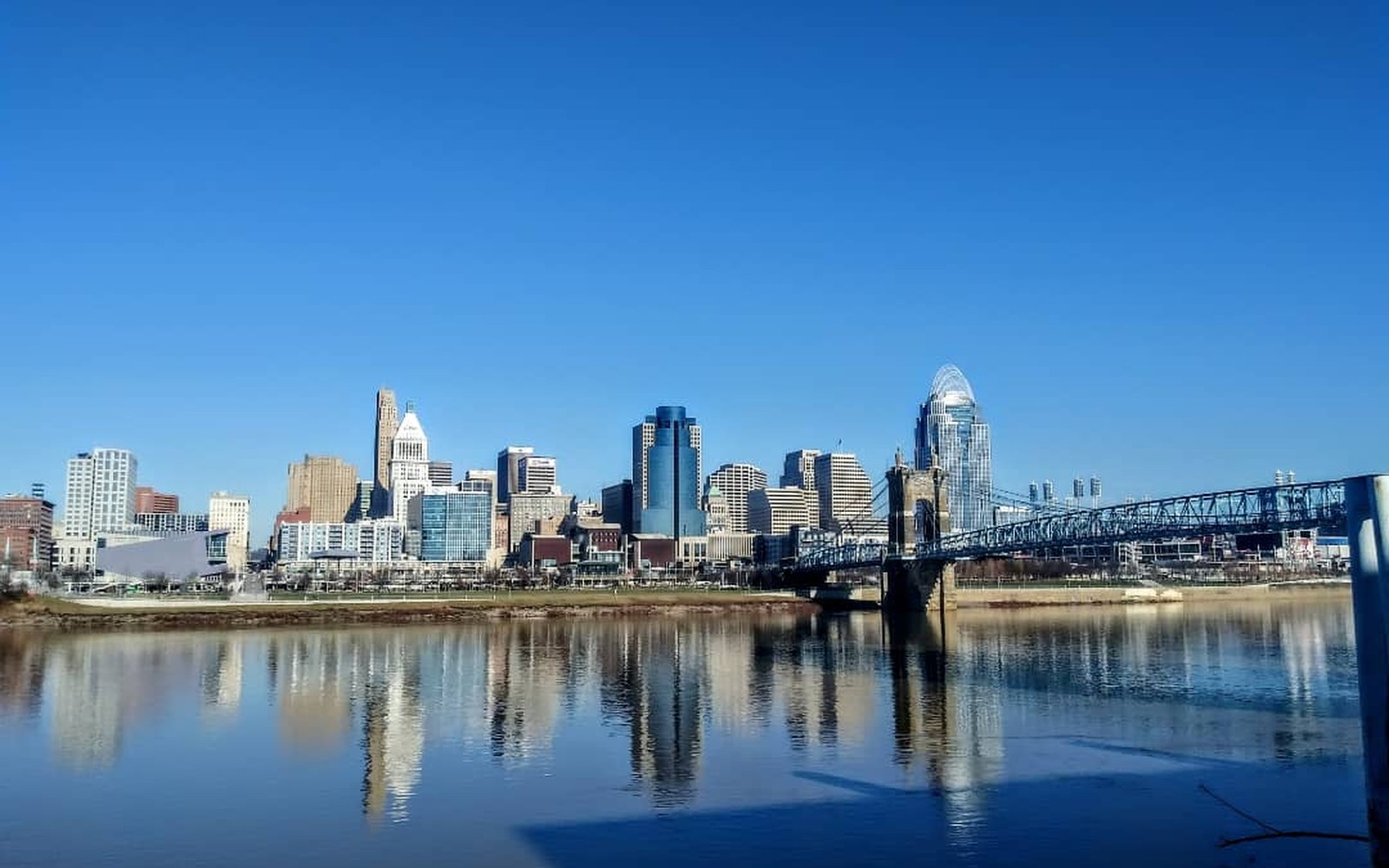
The Ohio's northward loop at Cincinnati created a natural terrace — the 'basin' — that made the site defensible, flood-resistant by 1788 standards, and reachable by flatboat. One Bend, One Terrace, One Grid
Photo: Cincinnati Ohio · Wikimedia CommonsThe city's infrastructure collapsed in sequence. The Cincinnati waterworks at the foot of Harrison Avenue lost pressure. Reporters from the Cincinnati Enquirer described residents forming bucket chains from uncontaminated wells. Electric service failed across the flooded districts. Gas mains were shut as a precaution against explosion when the water receded. The National Guard established distribution points for drinking water and food in the higher neighbourhoods — Mount Adams, Price Hill, Hyde Park — where residents from the basin arrived carrying whatever they could move.
What the waterline marks mean, and why they persist
When water recedes from a masonry surface it leaves behind dissolved minerals, particulates from the river itself — silt, organic matter, industrial residue — and, in 1937's case, the legacy of an urban river that also carried effluent from hundreds of miles of unregulated industry. The line it deposits is not uniform. On limestone and sandstone it reads as a pale, horizontal band. On soft red brick — common in the nineteenth-century construction of Over-the-Rhine, the West End and the riverside commercial district — it soaks in and stains. On painted surfaces it bleaches or darkens, depending on the pigment chemistry.
The persistence of these marks, eighty-plus years later, is a function of material porosity and the sheer concentration of what the 1937 river carried. Buildings that have been repointed, repointed and repointed again may have lost the original surface, but the stain can sit several brick-layers deep. The more legible surviving examples appear on buildings that were not heavily modified after the flood and were not subsequently pointed with Portland-cement mortar, which tends to be harder than the historic brick behind it and masks the underlying surface character.
Reading a waterline mark requires knowing the elevation of the building's foundation relative to the river gauge. The National Weather Service's documented crest data allows a rough calculation: if a mark appears at, say, four feet above a building's street-grade threshold, and the street sits at approximately forty-five feet of elevation above the gauge datum, the mark corresponds to a river stage of around forty-nine feet — well below the 1937 crest, meaning the building may have flooded in one of several smaller events. The highest marks in Cincinnati, those that correspond to the full 79.99-foot crest, appear only on structures in the very lowest parts of the basin, most of which were subsequently demolished in urban renewal programmes of the 1950s and 1960s that reshaped the West End in particular.
From the record
The crest in numbers
- 79.99 ftgauge reading at the Public Landing, 26 January 1937; the all-time record at this location (National Weather Service)
- 52 ftofficial flood stage at Cincinnati; the 1937 crest was nearly 28 feet above it
- 71.1 ftprevious record crest, set in 1884, exceeded by almost 9 feet in 1937
- ~60,000estimated number of Cincinnati residents displaced at the flood's peak
- 1884benchmark year engineers had used for flood-risk calculations prior to 1937
The 1937 flood did not immediately produce a comprehensive flood-control response. A system of federally funded floodwalls, engineered by the Army Corps of Engineers and constructed through the 1940s and 1950s, eventually closed off the most vulnerable reaches of the Cincinnati and northern Kentucky riverfront. The gates in those walls — heavy steel structures on hinges and rollers — have been closed in high-water events since, though none has tested them the way January 1937 would have. The crest of 79.99 feet remains, as of the documented present, the number against which every subsequent Ohio River rise at Cincinnati is measured.
Elsewhere on the site
From the record
Neighbourhood sequence
- West End / Mill Creek valleylowest ground, flooded earliest, worst inundation depth
- Sedamsville / Fernbankwestern river corridor, entire streets submerged
- Covington / Newport (Kentucky)Ohio backed Licking River, flooding Newport from two directions
- Over-the-Rhine (southern edge)above basin floor but lower blocks flooded; tide lines survive in some masonry
- Mount Adams / Hyde Park / Price Hillhigh ground, used as relief and distribution points
From the record
How to read a waterline mark
- What it ismineral and particulate deposit left as floodwater recedes from a masonry surface
- Why it lastsporosity of historic soft red brick absorbs the stain several layers deep
- How to date itmatch mark elevation above street grade to known river-gauge crest records
- What obscures itPortland-cement repointing, post-flood demolition (especially West End urban renewal, 1950s–60s)
More in The Landing