One Bend, One Terrace, One Grid
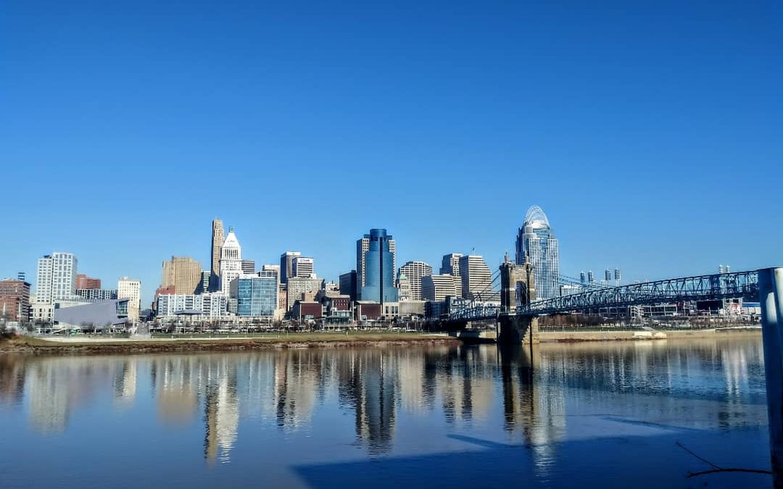
The Ohio's northward loop at Cincinnati created a natural terrace — the 'basin' — that made the site defensible, flood-resistant by 1788 standards, and reachable by flatboat.
Photo: Cincinnati Ohio · Wikimedia CommonsThe Ohio River's northward loop at Cincinnati didn't just choose the site — it built the city's bones.
What the Bend Made Possible
The Ohio River runs generally southwest across its full length, but at Cincinnati it bends sharply north before curving back, carving a flat terrace — the basin — on the Ohio River's north bank. In 1788 that terrace was perhaps the most strategically legible piece of real estate on the entire northwestern frontier. The hills behind it offered a defensible perimeter; the river in front offered transport, drinking water, and the means to move goods south to New Orleans and east to the Atlantic states by flatboat and keelboat. The site was far enough above the ordinary waterline to keep floodwaters manageable — by the standards of the time, at least — yet close enough to the river's edge to make loading and landing straightforward.
The settlement that John Filson named Losantiville in 1788 — from a hybrid of Greek, Latin and French words meaning "town opposite the mouth of the Licking" — sat directly on that terrace. Governor Arthur St. Clair renamed it Cincinnati in 1790, honouring the Society of the Cincinnati, an organisation of former Revolutionary War officers. The name stuck; the logic of the bend drove everything else.
The Survey and the Grid
Israel Ludlow, one of three surveyors who platted the original town in 1789, imposed a street grid aligned to the river rather than to cardinal compass points. The result — still readable in the downtown street plan — is a grid canted slightly northeast, with numbered streets running parallel to the Ohio and named cross-streets running toward the hills. Vine Street became the north-south spine; east-west streets including Pearl Street, Elm Street, and Sycamore Street defined the commercial blocks that would fill within a generation.
The grid did something deceptively simple: it made land transactions legible. Speculators, settlers and merchants arriving by river could read a plat, identify a lot, and close a transaction without surveying the ground themselves. That clarity accelerated settlement at a time when every competing site along the Ohio — Limestone (later Maysville), Gallipolis, Marietta — was working from rougher, less certain surveys.
Why No Other Town Kept Up
By 1800 Cincinnati's population stood near 750. By 1815 it exceeded 4,000. By 1840, with roughly 46,000 residents, it was the sixth-largest city in the United States, according to census records from that decade. No other Ohio River town in Ohio, Kentucky or Indiana matched that trajectory in the first fifty years.
Several physical factors converged. The basin's flat floor required minimal grading to build on, unlike the hillside settlements that surrounded it. The Licking River's mouth, directly opposite on the Kentucky bank at what would become Covington, funnelled interior Kentucky trade across the Ohio at precisely this point, making Cincinnati the natural exchange node between the Ohio Valley's two banks. And the northward bend itself slowed river traffic just enough — the current eased as it rounded the loop — that flatboats stopped here rather than drifting past.
The hog-processing trade that earned Cincinnati the nickname Porkopolis by the 1830s depended on that same geography: drovers walked hogs down from the interior, slaughtered and packed them in the basin's processing yards, and sent barrelled pork downriver from the city's own landing. The fat rendered from that trade fed, in turn, the soap and candle business that William Procter and James Gamble formalised in 1837 — their factory, too, in the basin, on the flattest and most accessible ground the bend had made.
In 1788 that terrace was perhaps the most strategically legible piece of real estate on the entire northwestern frontier.
The river chose the site. Ludlow's grid ↗ made it transferable. And the northward loop's slackened current gave arriving settlers a moment — just enough of one — to decide to stay.
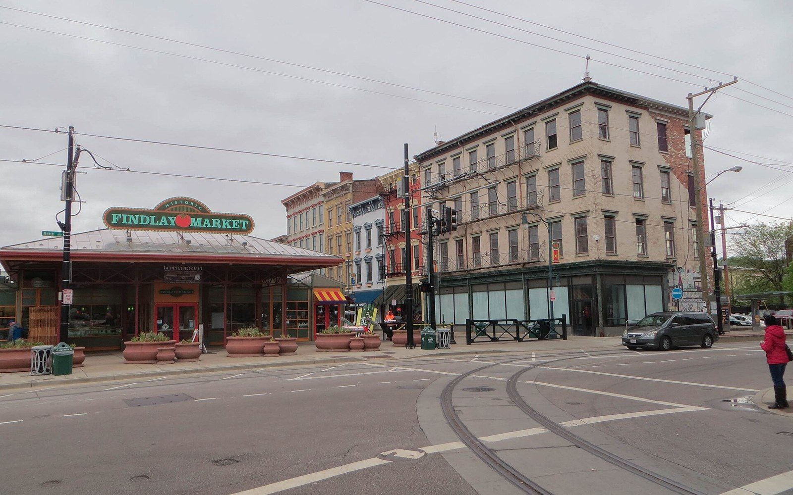
Ohio's oldest continuously operating public market opened in 1852 on land donated by James Findlay; Findlay Market Has Been Open Since Fillmore
Photo: 20170422 27 Elder & Race Sts - 36205942641 · Wikimedia CommonsFrom the record
Chronology
- 1788Losantiville founded on the basin terrace; named by John Filson
- 1789Arthur St. Clair renames the settlement Cincinnati; Israel Ludlow plats the street grid
- 1800Population approximately 750 (U.S. census)
- 1815Population exceeds 4,000
- 1837Procter & Gamble formed in the basin
- 1840Cincinnati reaches roughly 46,000 residents; ranked sixth-largest U.S. city
From the record
Key geography
- Basinthe flat river terrace formed by the Ohio's northward loop; the original settlement floor
- Vine Streetthe grid's north-south spine, established in the 1789 plat
- Licking River mouththe Kentucky feature, opposite Cincinnati, that concentrated cross-river trade at this bend
- The northward loopthe river anomaly that slowed flatboat traffic and made the site a natural stopping point
More in The Landing