Section 4 of 6
Deco & Flood
The thirty-year span — roughly 1920 to 1950 — when Cincinnati built its grandest buildings and lost a year to the river.
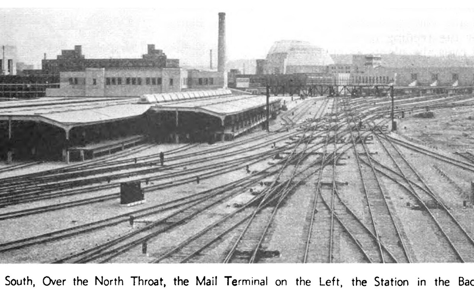
A Station Built for 216 Trains a Day — the piece this section opens with.
Photo: Cincinnati Union Terminal - RA - 17 · Wikimedia Commons5 pages in this section
- A Station Built for 216 Trains a DayCincinnati Union Terminal, designed by Fellheimer & Wagner and opened in 1933, was built to handle 216 train movements daily and is one of the largest Art Deco half-dome structures in the world. Covers the building programme, the Winold Reiss mosaic commission, the terminal's rapid decline after 1945 and its conversion to the Cincinnati Museum Center.
- 574 Feet, and the Tallest Thing Here for 80 YearsThe Carew Tower, completed in 1930 at 574 feet, held the title of Cincinnati's tallest building for eight decades and contains the Netherland Plaza hotel, whose Hall of Mirrors is one of the most intact French Art Deco interiors in the United States. Covers the Shreve, Lamb & Harmon design, the Rookwood tile installation in the lobby and the observation deck's documented sightlines.
- The Tunnels That Never Carried a PassengerCincinnati broke ground on a rapid transit subway in 1920, completed 2.2 miles of tunnel beneath Central Parkway by 1927, and then stopped — leaving the infrastructure intact and unused beneath the city. Covers the funding collapse, the three separate occasions the city voted on finishing it and the current state of the tunnels.
- Winold Reiss Had One Year to Cover 14,000 Square FeetGerman-American artist Winold Reiss produced the mosaic programme for Cincinnati Union Terminal between 1932 and 1933, covering the rotunda and concourse in scenes of Cincinnati industry using Venetian glass tesserae. Covers Reiss's sourcing of tesserae, the industrial subjects chosen for the panels and the mosaic restoration carried out in the 1990s.
- The Waterline Marks Are Still on the BuildingsA companion piece to the narrative account: a structured record of the 1937 flood's documented measurements — crest height, affected street elevations, relief operations and the specific neighbourhoods whose waterlines are still visible — sourced from National Weather Service and Red Cross records dated 1937.
The other five