The Waterline Marks Are Still on the Buildings
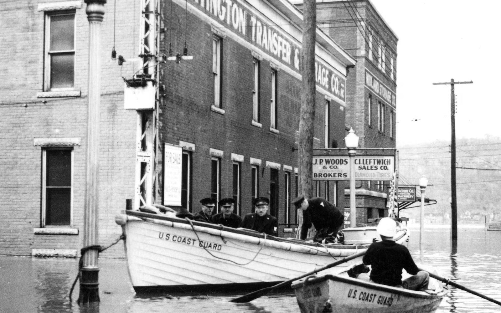
A companion piece to the narrative account: a structured record of the 1937 flood's documented measurements — crest height and affected street elevations.
Photo: Ohio River flood of 1937 · Wikimedia CommonsA Structured Record of the January 1937 Flood's Documented Measurements
The Ohio River crested at Cincinnati on 26 January 1937 at 79.99 feet above low-water datum ↗, according to National Weather Service records — the highest stage ever measured at that gauge. Flood stage at Cincinnati is 52 feet; the river surpassed it by nearly 28 feet.
What the Numbers Measured
The basin, Cincinnati's original settlement terrace, absorbs punishment first. By the time the river peaked, water covered Eastern Avenue through Linwood, reached into the lower blocks of Over-the-Rhine, and submerged the industrial flats along the Mill Creek corridor. Covington and Newport, the Kentucky counterparts across the river, recorded comparable inundation along their own low-lying riverfront blocks.
Street-level surveys conducted during the event placed floodwaters at roughly 10 feet deep in parts of the Riverside neighbourhood and across much of the East End. In the West End, water stood at sufficient depth to strand the lower floors of residential buildings whose brick exteriors still show faint tide-line staining at heights consistent with those surveys. The same horizontal ghosts appear on commercial structures along Eastern Avenue — discolouration at a consistent band, six to ten feet above the pavement, where the silty Ohio water receded and left its record in the masonry.
Relief and Its Scale
The American Red Cross coordinated the largest domestic relief operation to that point in its history. Across the Ohio Valley flood zone, more than a million people were displaced ↗ and approximately 385 people died — figures recorded in the organisation's 1937 after-action reports. In Cincinnati and Hamilton County alone, tens of thousands of residents required temporary shelter, food distribution and medical assistance. The National Guard activated, and the city's municipal water supply was compromised for days as treatment infrastructure flooded.
Recovery proceeded neighbourhood by neighbourhood as the river dropped, but the receding waterline left material evidence that no subsequent renovation has entirely erased. In the East End and in sections of Over-the-Rhine, the stain on the brick is not decorative — it is a document. It records, with the precision of a gauge reading, how high the river climbed in January 1937 and where it stopped.
Flood stage at Cincinnati is 52 feet; the river surpassed it by nearly 28 feet.
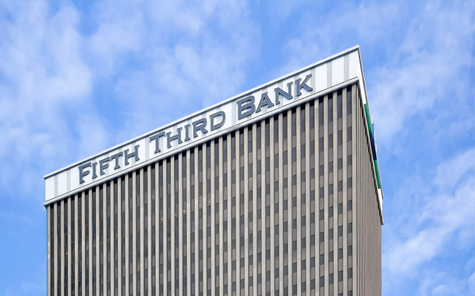
The Carew Tower, completed in 1930 at 574 feet, held the title of Cincinnati's tallest building for eight decades and contains the Netherland Plaza hotel.
Photo: Fifth Third Center in Cincinnati, January 2019 · Wikimedia CommonsFrom the record
Key measurements
- Crest height79.99 ft above low-water datum, 26 January 1937 (NWS)
- Flood stage at Cincinnati52 ft; the 1937 crest exceeded it by nearly 28 ft
- Depth in hardest-hit areasapproximately 10 ft in Riverside neighbourhood and East End blocks
- Visible waterline height on surviving buildings6 to 10 ft above street level
More in Deco & Flood